Air Masses and Fronts Worksheet
Air masses and fronts are key concepts in meteorology and understanding the interaction between them is crucial for anyone interested in weather patterns and forecasting. These worksheets are designed to help students grasp the basic principles behind air masses and fronts, providing a comprehensive overview of their characteristics, formation, and impact on weather systems. Whether you're a science teacher looking for engaging educational resources or a weather enthusiast wanting to deepen your knowledge, these worksheets will be a valuable tool in your learning journey.
Table of Images 👆
- Air Masses Worksheet
- Types of Air Masses Worksheet
- Weather Air Masses and Fronts Worksheets
- Weather Air Masses and Fronts Worksheets
- Types of Weather Fronts Worksheet
- Weather Air Masses and Fronts Worksheets
- Temperature Graph Worksheets
- Weather Air Masses and Fronts Worksheets
- Weather Fronts Worksheets Answers
- Weather Air Masses and Fronts PowerPoint
- Types of Air Masses Worksheet
- Weather Lapbook Printables
More Other Worksheets
Kindergarten Worksheet My RoomSpanish Verb Worksheets
Healthy Eating Plate Printable Worksheet
Cooking Vocabulary Worksheet
My Shadow Worksheet
Large Printable Blank Pyramid Worksheet
Relationship Circles Worksheet
DNA Code Worksheet
Meiosis Worksheet Answer Key
Rosa Parks Worksheet Grade 1
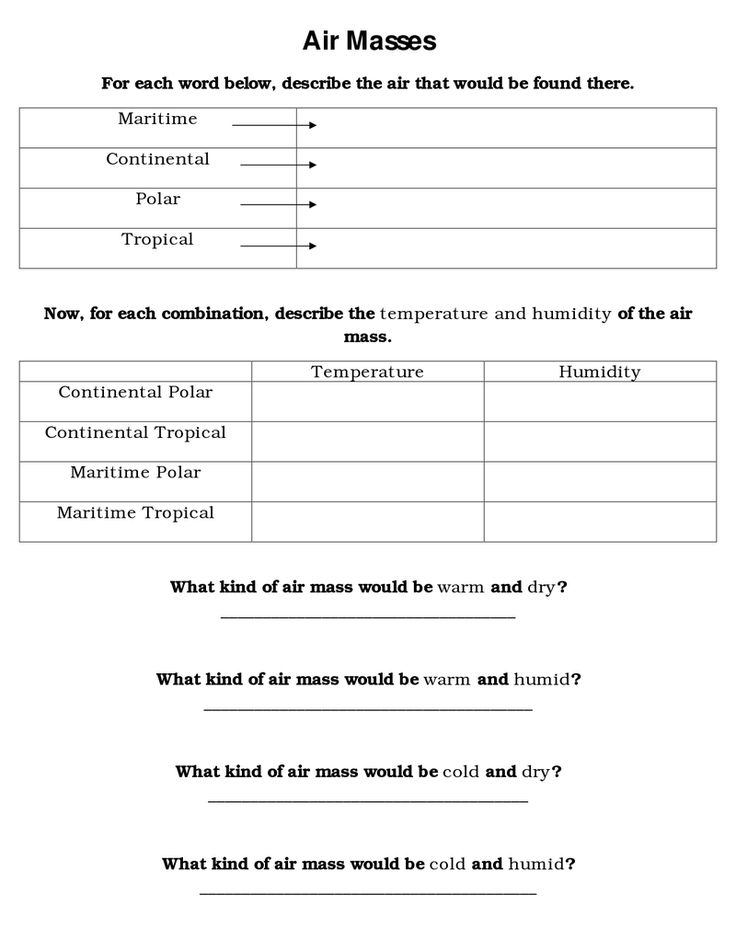
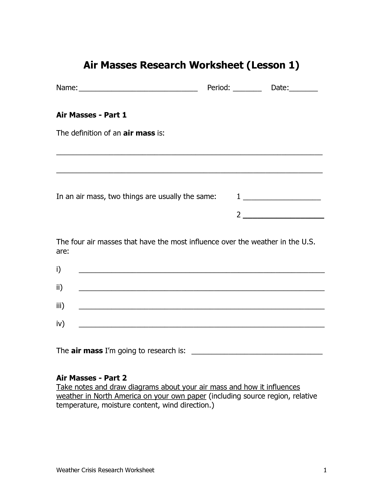
What is an air mass?
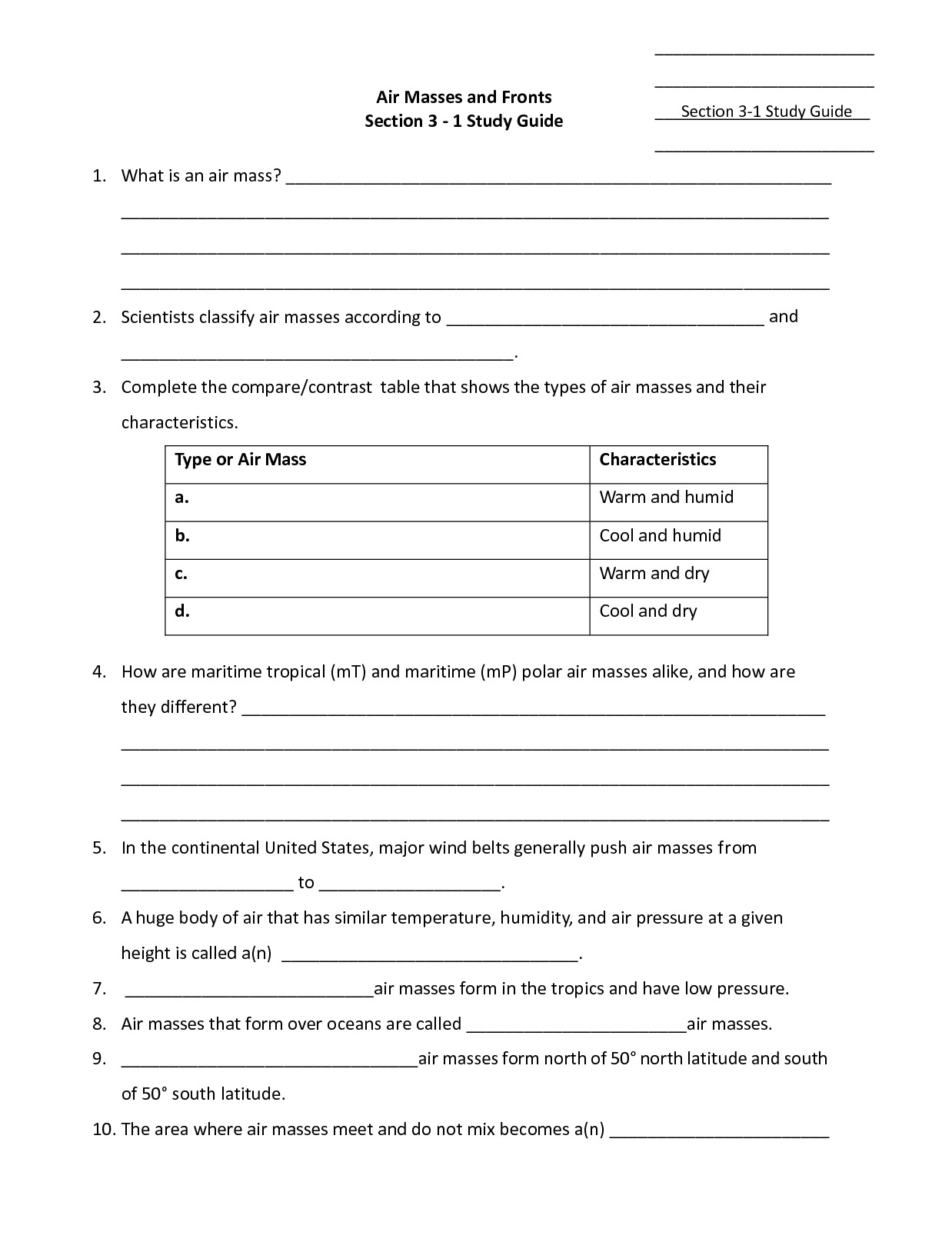
An air mass is a large body of air in the atmosphere that has relatively uniform temperature, humidity, and stability characteristics. Air masses cover vast regions and can influence weather patterns when they move and interact with other air masses. There are different types of air masses, classified based on their source region and temperature characteristics, such as maritime tropical, continental polar, and maritime polar air masses.
What are the four main types of air masses?
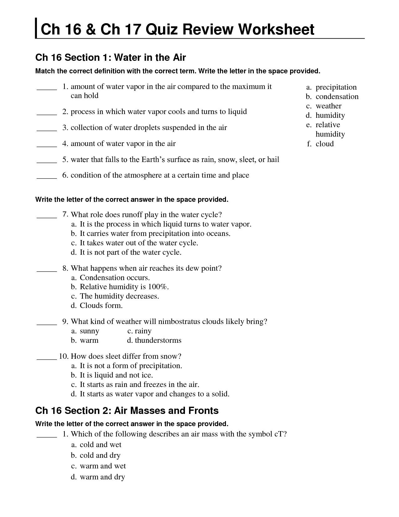
The four main types of air masses are maritime tropical (mT), maritime polar (mP), continental tropical (cT), and continental polar (cP). Maritime tropical air masses are warm and moist, maritime polar air masses are cool and moist, continental tropical air masses are warm and dry, and continental polar air masses are cool and dry.
How do maritime air masses differ from continental air masses?
Maritime air masses differ from continental air masses primarily in terms of their moisture content. Maritime air masses originate over bodies of water and are typically humid and moist, while continental air masses form over land and are drier and less humid. This difference in moisture content influences the temperature and weather patterns associated with each type of air mass, with maritime air masses often bringing milder temperatures and greater chances of precipitation, while continental air masses tend to be associated with more extreme temperature variations and drier conditions.
What are the characteristics of a tropical air mass?
A tropical air mass is generally warm and humid, originating from the tropics or subtropics. It is often associated with clear skies and stable weather conditions. Tropical air masses can bring heavy rainfall to areas where they encounter a contrasting air mass, leading to thunderstorms and localized flooding. They may also contribute to the development of hurricanes or tropical cyclones in certain regions.
What are the characteristics of a polar air mass?
A polar air mass is characterized by being cold, dense, and often dry. It originates near the poles and brings lower temperatures as it moves towards lower latitudes. Polar air masses tend to bring stable atmospheric conditions, clear skies, and lower humidity levels resulting in cooler temperatures wherever they move, influencing weather patterns and creating changes in local climates.
When two air masses meet, what is formed?
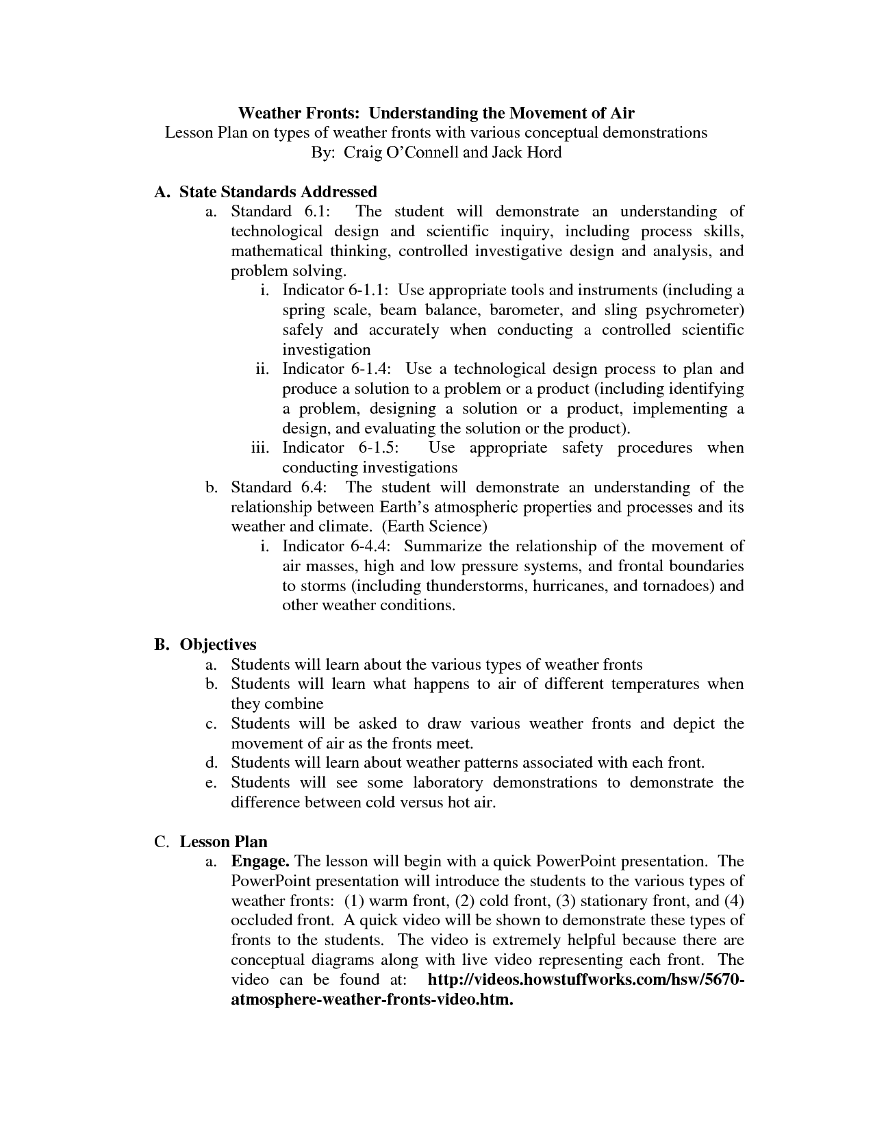
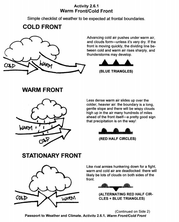
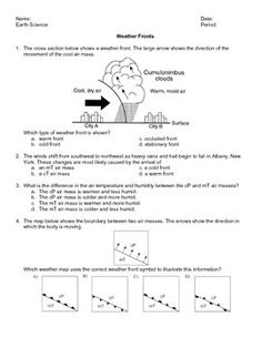
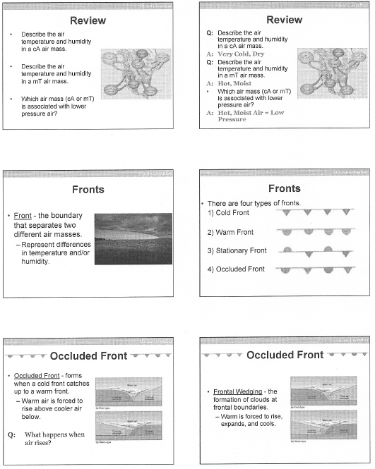
When two air masses meet, a front is formed. This boundary between the two air masses can result in changes in weather patterns, such as the development of clouds, precipitation, and fluctuations in temperature and humidity. The type of front (cold, warm, stationary, or occluded) formed depends on the characteristics of the air masses involved.
What are the characteristics of a cold front?
A cold front is characterized by a boundary where a cold air mass displaces a warm air mass, leading to a rapid drop in temperature, shift in wind direction to become more northerly, and often the formation of clouds, precipitation, and sometimes thunderstorms. Cold fronts typically move faster than warm fronts, bringing a quick and sometimes dramatic change in weather conditions.
What are the characteristics of a warm front?
A warm front is characterized by a gradual rise in temperature, the formation of cirrus clouds followed by stratus clouds, and typically brings steady precipitation. As the warm air mass moves in and rises over a colder air mass, it creates a sloping front that results in a long period of precipitation. Warm fronts are associated with lighter winds and a gradual shift in weather conditions from cooler to warmer temperatures.
What is an occluded front?
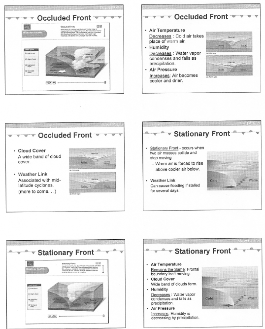
An occluded front occurs when a cold front overtakes a warm front, lifting the warm air mass off the ground, trapping it between two cold air masses. This results in a mix of weather conditions, such as widespread cloud cover, precipitation, and temperature changes.
How do weather conditions typically change when a front passes through an area?
When a front passes through an area, weather conditions often shift dramatically. Before a front, there may be warm temperatures, clear skies, and light winds. As the front approaches, the weather can change rapidly, with a sudden drop or rise in temperature, increased cloud cover, and a shift in wind direction. This transition is often accompanied by precipitation, such as rain or thunderstorms, as the front moves through due to the contrast in air masses. After the front passes, conditions may stabilize, with cooler temperatures and clearing skies if it is a cold front, or warmer temperatures and lingering showers if it is a warm front.
Have something to share?
Who is Worksheeto?
At Worksheeto, we are committed to delivering an extensive and varied portfolio of superior quality worksheets, designed to address the educational demands of students, educators, and parents.





Comments