Cloud Types Worksheet
Clouds are fascinating formations of water vapor in the atmosphere, and understanding their different types can enhance our knowledge of the natural world around us. If you're a science enthusiast or a student studying meteorology, a cloud types worksheet can provide a valuable resource for learning and exploring the various entities and subjects within the realm of clouds.
Table of Images 👆
More Other Worksheets
Kindergarten Worksheet My RoomSpanish Verb Worksheets
Cooking Vocabulary Worksheet
My Shadow Worksheet
Large Printable Blank Pyramid Worksheet
Relationship Circles Worksheet
DNA Code Worksheet
Meiosis Worksheet Answer Key
Art Handouts and Worksheets
7 Elements of Art Worksheets
What is cumulus cloud?
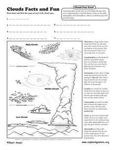
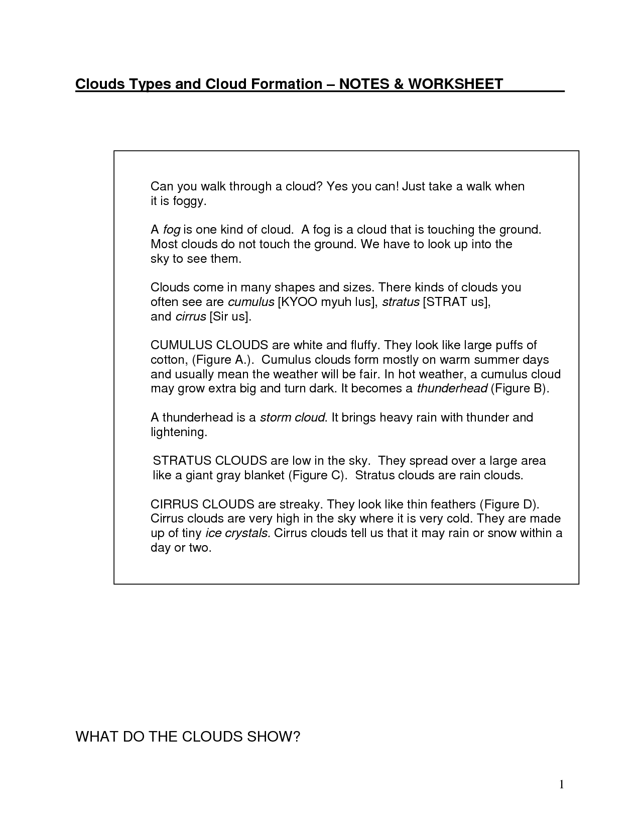
Cumulus clouds are fluffy, white clouds with a cotton-like appearance that have a rounded and puffy shape. They are typically found at lower levels in the atmosphere and are associated with fair weather conditions. Cumulus clouds form when warm air rises and cools, causing water vapor to condense into droplets.
What is stratus cloud?
A stratus cloud is a low-lying, gray cloud that often appears as a thin layer covering much of the sky. These clouds typically have a smooth, uniform appearance and can bring overcast conditions with light drizzle or steady rain. Stratus clouds form when stable air masses are pushed upwards, causing the air to cool and the moisture within it to condense into cloud droplets.
What is cirrus cloud?
Cirrus clouds are high-altitude clouds that are thin, wispy, and composed of ice crystals. They typically form above 20,000 feet and are often associated with fair weather or indicate the approach of a warm front. Cirrus clouds are commonly seen as streaks or wisps in the sky and are known for their delicate appearance.
What is nimbus cloud?
A nimbus cloud is a type of cloud that is dark, dense, and produces precipitation. This type of cloud is typically associated with stormy weather conditions and often brings rain, snow, or thunderstorms.
What are the characteristics of cumulonimbus cloud?
Cumulonimbus clouds are large, dense, vertically-developing clouds that are associated with thunderstorms, heavy rain, hail, lightning, and even tornadoes. They have a towering appearance with an anvil-shaped top and can extend high into the atmosphere. These clouds exhibit strong vertical growth due to the dynamic updrafts within them, often creating turbulent weather conditions. Additionally, cumulonimbus clouds are known for their dark, ominous appearance, making them easily recognizable in the sky.
How are altostratus clouds formed?
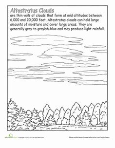
Altostratus clouds are formed when warm, moist air rises and cools as it encounters a layer of cooler air in the atmosphere. This cooling causes the air to reach its dew point, leading to the condensation of water vapor into small water droplets or ice crystals. The resulting altostratus clouds typically form as a thick, gray layer that can cover large areas of the sky at mid-level altitudes.
What causes lenticular clouds to form?
Lenticular clouds form when moist air is forced to flow over a topographic barrier, such as a mountain range, leading to a series of standing waves in the atmosphere. As the air moves upward and cools, it can reach its dew point, causing condensation and the formation of the lens-shaped clouds. The air then descends on the other side of the barrier, creating a stable pattern of clouds that can appear stacked or layered.
What are the unique features of mammatus clouds?
Mammatus clouds are distinctive due to their pouch-like shapes hanging from the base of a cloud. These cloud formations typically form in association with severe thunderstorms and are often a sign of turbulent atmospheric conditions. Mammatus clouds can be visually striking with their bulbous, elongated shapes and can vary in size and density, adding an eerie and dramatic element to the sky.
How do stratocumulus clouds differ from cumulus clouds?
Stratocumulus clouds are low-altitude, layered clouds that appear as a continuous sheet or layer with a somewhat uniform base. They are larger and more elongated compared to cumulus clouds, which are isolated, puffy, and have a distinct boundary. Stratocumulus clouds often cover the sky in a widespread manner and are associated with stable weather conditions, while cumulus clouds are typically associated with fair weather but can develop into storm clouds.
What weather conditions are typically associated with nimbostratus clouds?
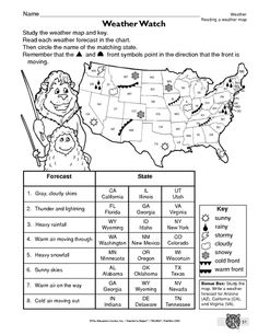
Nimbostratus clouds are typically associated with steady, continuous precipitation such as rain or snow. These clouds are thick, dark, and layered, covering the sky and often blocking out the sun. The precipitation from nimbostratus clouds can last for hours or even days, making them a common indicator of prolonged wet weather conditions.
Have something to share?
Who is Worksheeto?
At Worksheeto, we are committed to delivering an extensive and varied portfolio of superior quality worksheets, designed to address the educational demands of students, educators, and parents.







Comments